Georeferencing Hydrographic Surveys
Georeference hydrographic surveys with support from high-resolution flow and elevation data for precise analysis.
Hydrographic surveys often live in PDF or CAD files, making it challenging to use them as effective reference materials. WaterWise can bring these datasets into the greater geospatial ecosystem, georeferencing them with high precision to overlay against LiDAR-derived terrain, flowlines, and infrastructure inventories.
This integration supports critical workflows:
- •Comparing historical surveys to current conditions.
- •Identifying discrepancies between recorded rights and physical reality.
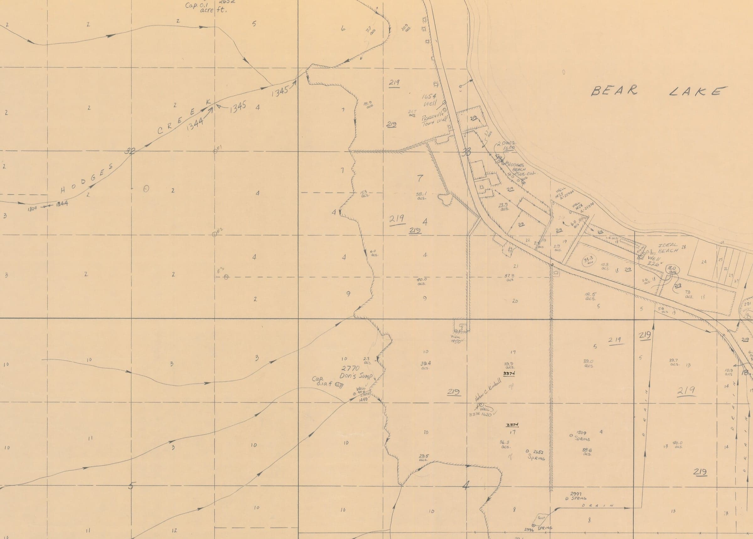
Bringing historical survey data into a geospatial context allows for direct comparison with modern high resolution aerial imagery.
Interactive Map: Toggle the layers on and off to compare real world conditions to what was surveyed in 1957.